
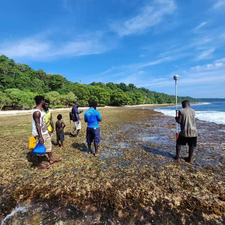
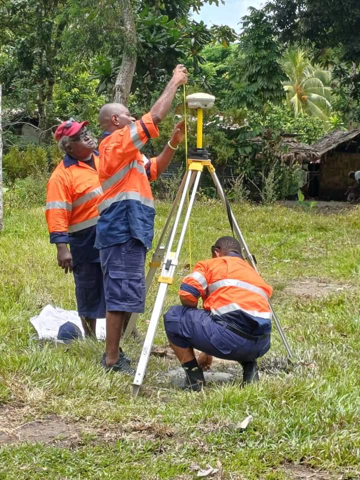
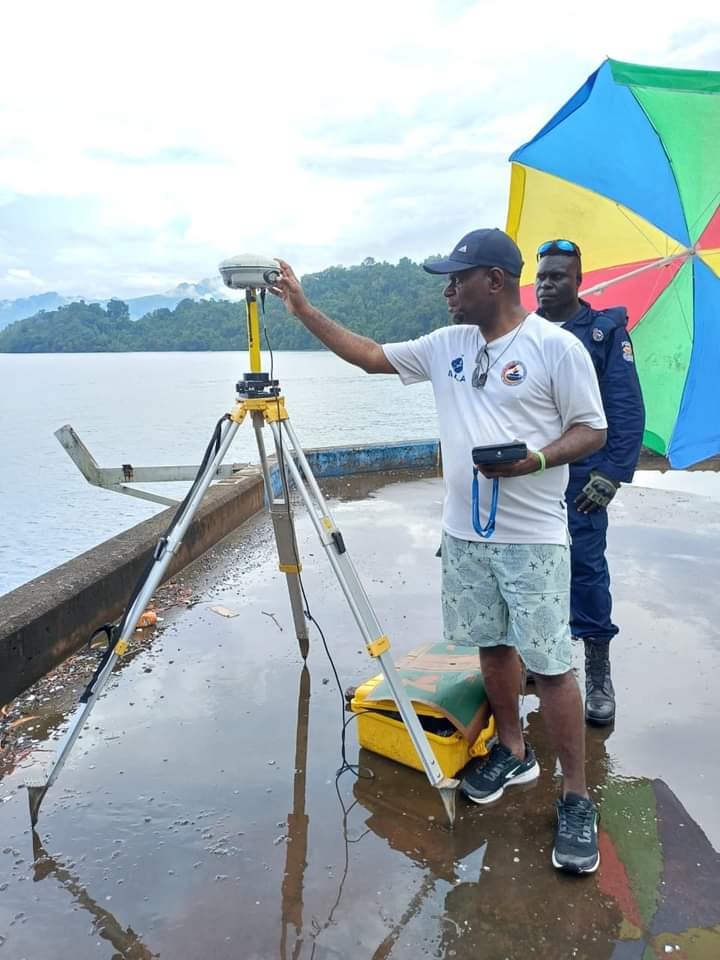
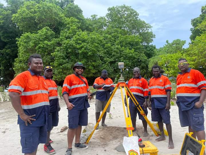
Teams conducting the Coastal Water Survey in Bougainville have been deployed to all three districts in the Region.
The survey is vital as it will allow the transfer of fisheries powers from the National Fisheries Department, to the Autonomous Bougainville Government and will be carried out within three nautical miles in Bougainville.
This move is considered a significant progress towards Bougainville’s political aspirations, especially in defining territorial sovereignty and rights through the reference coordinates for baseline, internal waters and coastal waters.
It is being facilitated through the ABG Department of Primary Industries & Marine Resources, the National Fisheries Authority, the National Department of Justice and Attorney General, the National Maritime Safety Authority and the Geoscience Energy & Maritime (GEM) Division of Pacific Community (SPC).
The findings of this survey will help Bougainville in mapping its coastal hazards or disasters such as tsunamis in coastal communities.
The Coastal Waters Survey is aligned with the United Nations Convention of the Law of the Sea (UNCLOS) for formalizing maritime boundaries. By aligning with UNCLOS, this enhances Bougainville’s standing on the international stage.
Being a martime region, the ABG believes this survey will enhance maritime services, regulate shipping, and boost economic development
An additial bonus the survey gives the maritime benefits, is that the Coastal Water Survey adds value for future land demarcation, paving way for development, including road infrastructure projects
Comments are closed.